We went for a walk this morning but I didn’t take a camera as the forecast was for heavy rain and strong winds. As there was no sign of the rain we walked further than I anticipated and saw the flooding by the River Trent. So these photos of the flooding were taken with my mobile phone instead of my usual camera:
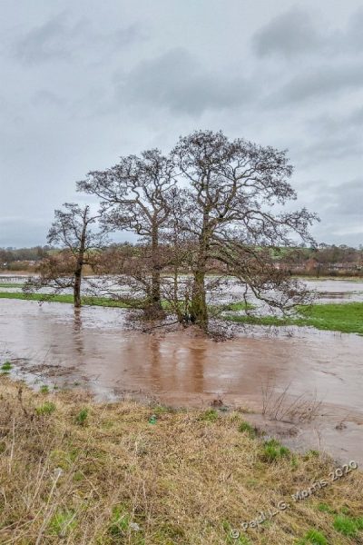
This view is of some trees by the edge of the river (which runs just in front of the trees) You can see the extent of the flooding behind them – flood meadows doing what nature intended flood meadows to do – flood! This is to the south west of Stone:

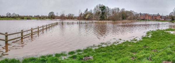
This one is a panoramic view from the same place – the angle of view is about 150 degrees:

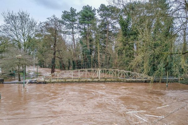
Close back to town is the river by the canoe club. The bridge carries two pipes across the river and is usually 10 ft or so above the normal river level. This is looking south from the old road bridge:

This panorama is the other side of the road a little closer to town looking north. The flooding in these meadows stretch from the river far to the left almost to the canal to the right:

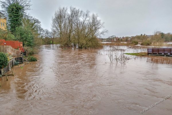
Finally this is the view from the modern road bridge looking north. To the right is an access ramp to the meadows from the path on the road bridge – not many walkers today!

